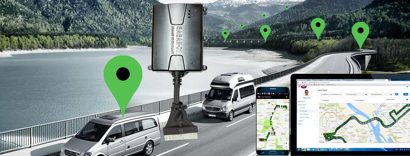

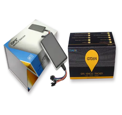
GPS tracking devices utilize high-sensitivity multi-GNSS receivers to calculate coordinate data (latitude, longitude, speed, and heading) by processing signals from orbiting satellites. Once calculated, this location data is sent in real-time to cloud monitoring servers using cellular networks (such as 4G LTE/2G). If a vehicle enters a remote area with cellular signal drops (such as rural roads in Madhya Pradesh), the tracker stores the location points in its built-in flash memory. Once the vehicle re-enters network coverage, the device automatically uploads all stored historical data, ensuring no route history is lost.
